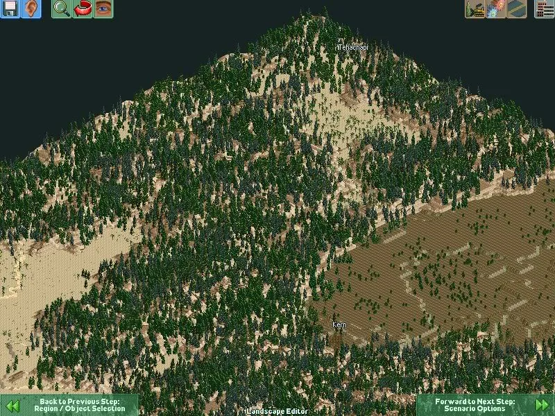
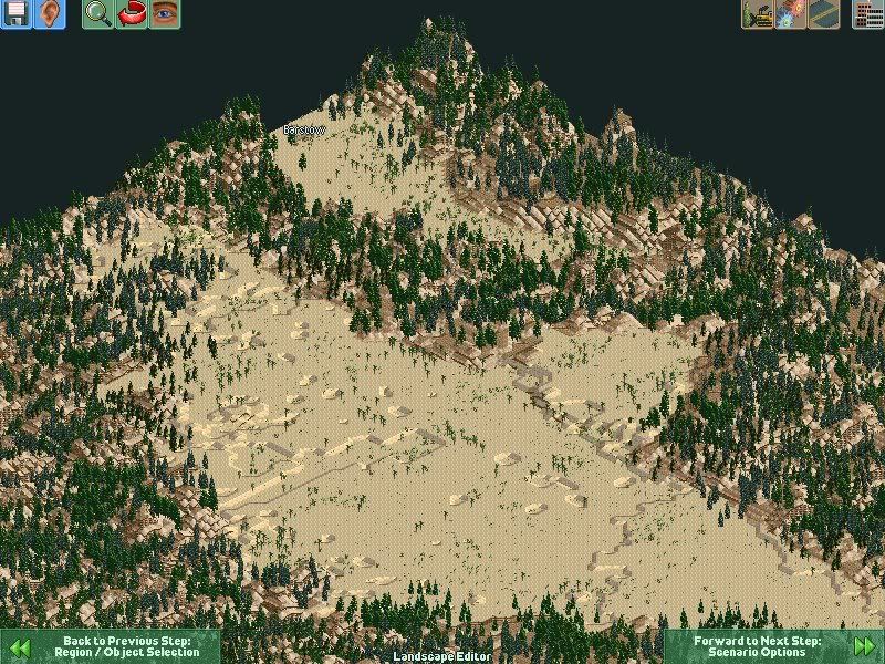
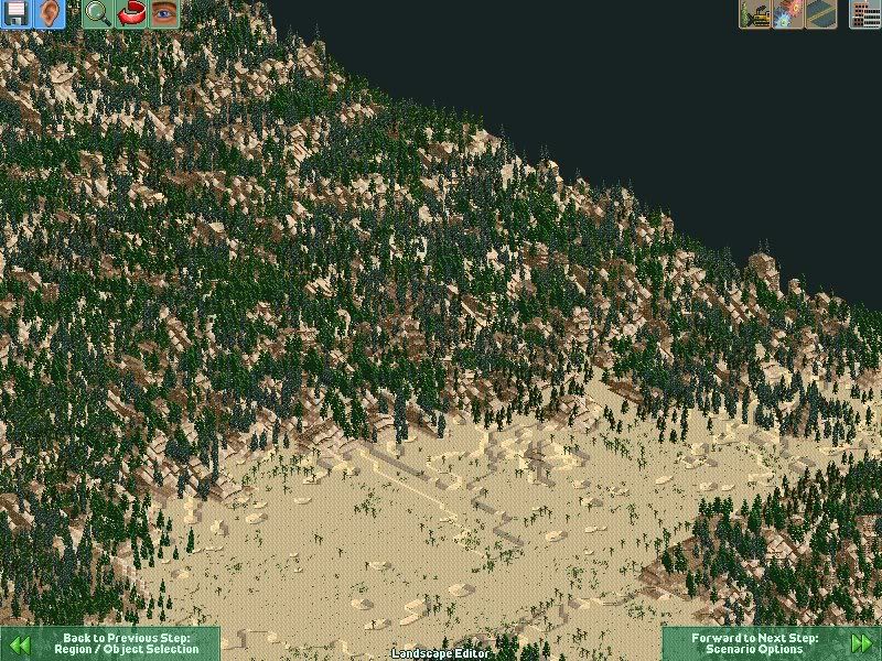
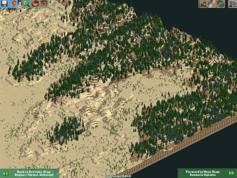
Tehachapi Pass (elevation 3793 ft/1156 m, location 35°06′08″ N 118°16′58″ W) is a mountain pass in southern California in the United States. It is located at the northeast end of the Tehachapi Mountains where they connect to the southern end of the Sierra Nevada mountains. The pass effectively marks the southern end of the Sierra. The pass connects the San Joaquin Valley to the Mojave Desert.
A group of businessmen in San Francisco, California, led by Timothy Phelps, incorporated the Southern Pacific Railroad Company in December 1865, to build a railroad between San Francisco, Los Angeles and San Diego, then build eastward to the eastern boundary of the state.
In July 1866, congress passed a bill authorizing the Southern Pacific Railroad Company, based in San Francisco, and the Atlantic and Pacific Railroad Company, based in St. Louis, to build a second transcontinental line from San Francisco to St. Louis. Both companies were to meet at the Colorado River near the 35th parallel.
The Southern Pacific acquired the San Francisco & San Jose Railroad following authorization by the state legislature in March. Grading began on the extension southward at 4th Street in San Jose in April 1868, carried out by the Santa Clara & Pajaro Valley Railroad which had been incorporated in January. The line reached Gilroy in March 1869 and Hosister in July 1871.
The Southern Pacific was purchased by the directors of the Central Pacific, Leland Stanford, Collins P. Huntington, Mark Hopkins, and Charles Crocker in September 1868. The Atlantic & Pacific remained primarily in Missouri.
The Texas Pacific Railway was given a land grant by Congress to build along the 32nd parallel in 1871. Thomas Scott, President of the Texas Pacific, negotiated with San Diegans in 1872 to bring the line into their city.
The Central Pacific directors feared competition from the Texas Pacific Railway. Planning began on a Southern Pacific line through the southern part of the state on the way to the Colorado River, intending to beat Scott to the state line. Stanford and the rest of the directors decided not to construct the originally projected line from Tres Pinos to Visalia through the Pacheco pass due to the cost of construction and expense of operating over the mountains. The Central Pacific began building a more level line southward from Lathrop in December 1869, to connect with the Southern Pacific route. This line was built without the benefit of land grants or other government concessions. Trains reached Modesto in November 1870, Merced in January 1872, Sycamore (Herndon) in April 1872, Fresno in May 1972, and Goshen in August 1972. Practically all of the larger valley towns began as railroad towns along the line. Goshen, 146 miles south of Lathrop became the end of the Central Pacific line, as the line had reached the original survey for Southern Pacific through the San Jaoquin Valley.
The Southern Pacific line was placed in Service to Delano in July 1873. The SP's main construction efforts were focused in Los Angeles. Pressed for funds, the SP managed to obtain a subsidy in November 1872, from Los Angeles businessmen and residents who feared being left off a main line of a southern transcontinental road. City leaders gave their holdings in the Los Angeles & San Pedro Railroad to the Southern Pacific Railroad. In addition, the county provided a $602,000 cash subsidy to the Southern Pacific and rights of way to build lines to Pomona and Anaheim. A line was extended from the station on Alamedia Street to Naud Junction where one line continued 22 miles northward to San Fernando, and the other 29 miles eastward to Spadra.
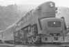
Train No. 17 at Tehachapi Loop, C E Watkins photoConstruction in the San Joaquin Valley resumed in April 1874. In October 1874 the SP line reached Bakersfield. The tracks were constructed to Caliente in April 1875, at an elevation of 1,291 feet, which remained the southern terminus of the line for more than a year while more than 3000 American and Chinese men worked on the line through the Tehachapi Pass. At the pass, the railroad crosses over itself forming the Tehachapi Loop, at an elevation of 4,025 feet, a climb of 2,734 feet in 28 miles. A total of 19 tunnels were required. Trains reached the summit in July 1876. The Tehachapi Loop was hailed as one of the greatest engineering feats of its day.
As crews worked their way through the Tehachapi Mountains from the north, constructing the Tehachapi Loop, other crews were building the SP line out of San Fernando, which required digging a tunnel. Construction on the 6,966 foot long tunnel began in March 1875, the longest of its kind at the time, with workers digging round the clock from both ends. The tunnel headings met in July 1876. Tracks were soon heading northward into the canyon.
On September 5, 1876, at Lang Station, near Palmdale, Charles Crocker, President of the Southern Pacific Railroad drove a gold spike to complete the San Joaquin Valley line. Southern California and Los Angeles were linked with San Francisco and the East. A train from San Francisco reached Los Angeles the same day. Produce and manufactured goods could now be shipped more reasonably and quickly. A land boom began. The down side was that the directors of the Southern Pacific and Central Pacific had monopoly control of the major railroads in California, allowing them to control prices.
San Bernardino residents were also recruited for funds but declined. The SP line continued eastward from Los Angeles through a new town of Colton, seven miles south of San Bernardino. The line reached the Colorado River across from Fort Yuma, Arizona in 1877, the end of the distance the charter allowed. After a few political maneuvers, the line was extended into Arizona, reaching Tucson on March 20, 1880, and El Paso, Texas on May 19, 1881.
The Southern Pacific opened a line to Santa Barbara in 1887. The Coast Line was extended northward to connect with San Francisco in 1901.
SP opened the Los Angeles Junction Station, which boasted a hotel and dining room at Spring Street and North Broadway. In 1888, the SP moved to the Arcade Station at 5th and Central Streets, which was rebuilt on an adjoining site three decades later and called Central Station.
----------------------------------------------------------
version of the map needs provo (plastik's) to be installed.
This Map pretty much forces the player to lay track through the pass, to keep it challenging.
San Joaquin Valley
Mojave Desert
The pass